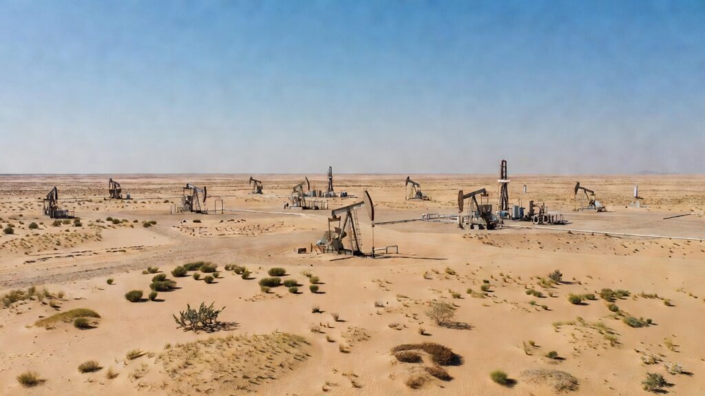
The Kuwait Institute for Scientific Research announced that its National Seismic Network recorded a 4.1-magnitude earthquake in the Al-Managish area of southwest Kuwait. The event occurred at 3:53 a.m. local time on Wednesday at a depth of 11 kilometers beneath the surface, according to the institute’s statement. Officials at the institute noted that the tremor took place in a region known for its oil production facilities, though initial assessments found no associated disruptions. The Kuwait Institute for Scientific Research operates the network as the primary authority for monitoring seismic activity across the country.
Kuwait lies in an area of relatively low seismic activity, yet the southwest has produced notable events in past decades, a review of institute archives shows. A magnitude 4.8 earthquake struck the same Managish zone in 1993 and was felt as far as Kuwait City, according to historical records maintained by the Kuwait Institute for Scientific Research. More recently, a 2019 sequence of over 50 small events in northern Kuwait included a 4.1-magnitude quake whose characteristics were detailed in a study published by the Arabian Journal of Geosciences. Researchers from the institute contributed to that analysis, which examined fault mechanisms using advanced waveform methods.
The national seismic network has catalogued more than 1,000 micro and small local earthquakes since its expansion, figures from the Kuwait Institute for Scientific Research indicate. Activity tends to cluster in the southwest near Managish and Umm Gudair as well as in the northeast around Raudhatain and Sabriya, the institute’s data maps show. Wednesday’s recording adds to this ongoing catalogue without triggering any special public alerts from authorities. The institute routinely releases such notifications to maintain transparency with residents and stakeholders.
No injuries or structural damage have been linked to the moderate tremor, the Kuwait Institute for Scientific Research confirmed in its announcement. Residents in nearby communities might have felt brief light shaking given the shallow depth, though widespread reports have not emerged. The event’s location in a sparsely populated oil field zone likely limited its reach, according to standard seismic impact assessments used by the institute. Monitoring continues to determine whether the quake forms part of any broader sequence.
Geological studies supported by the Kuwait Institute for Scientific Research have highlighted the role of both tectonic stresses and potential industrial activities in regional seismicity. A 2021 paper in Geotectonics co-authored by institute scientists analyzed a similar swarm and found roughly equal contributions from natural faults and oil extraction in some cases. Such research informs preparedness efforts even as individual events like Wednesday’s remain routine for the monitoring network. The institute has committed resources to refining these understandings through continued data collection.